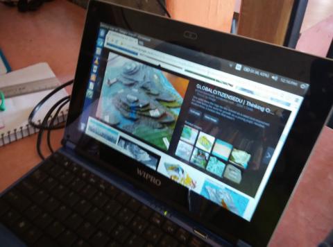
To plan for forest fire we needed contour map of the campus, the first question was WHAT is CONTOUR MAP? Well, we began with making our own contour map….just noting down the heights of the table and chairs we were sitting on. We saw some images of contour map and one of the child exclaimed ‘its all about heights!’.
Yes contour map is all about heights of the land. Isn’t it?
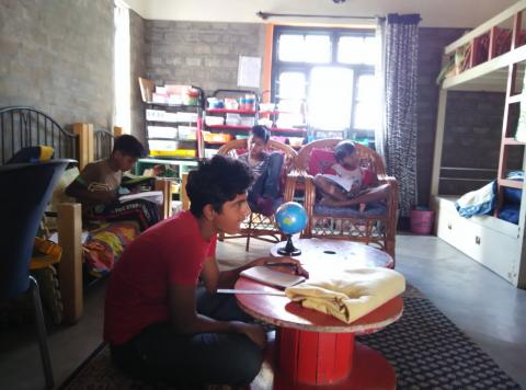
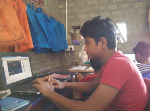
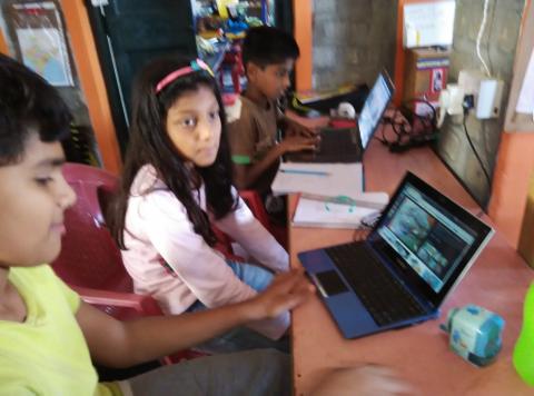
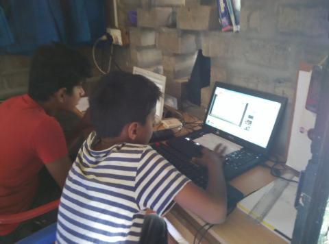
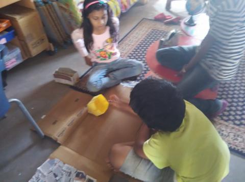
After this one moved on to read about what are contour maps, one moved on to watching videos how to make contour map, one liked to make model of contour map, one found an app to make contour map, one found few activities to learn about contour map, one found how to draw contour map … all chose different mediums to understand what is contour map. They created their own learning.
I was with them, my role began with making them experiencing about contour map, guiding them to various resources, listen to them, accepting their choices and of course confusing them 🙂